Baytown Waterways, Bayous, Gullies, Bays, and Lakes
![]()
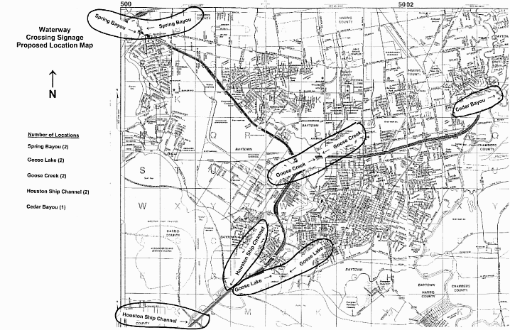
OurBaytown.com petitioned the State of Texas to put signs on our waterways that run
under the
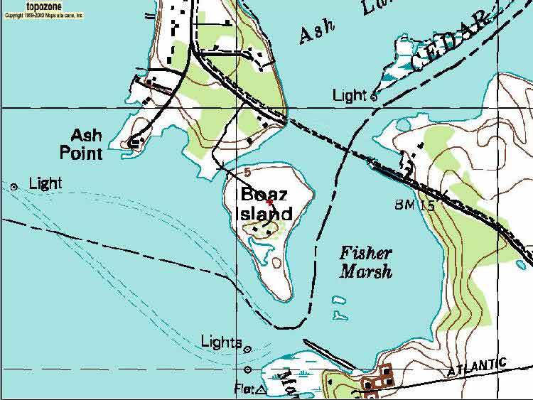
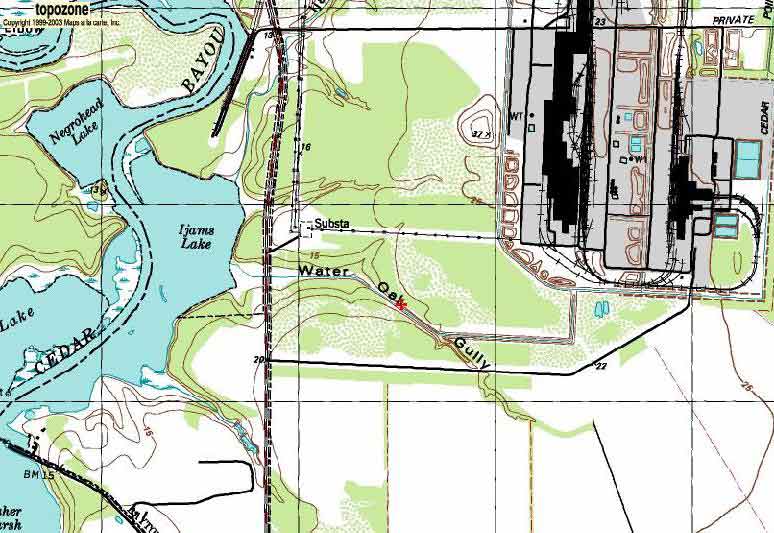
State highways! Here is a map
of areas the State installed signs.
The many lakes and
waterways near Baytown are beautiful to see and to canoe, but they are not
deep enough for larger boats.
To see Viking
Yachts for sale, you’d need to head to the coast of
Texas (.pdf file).
|
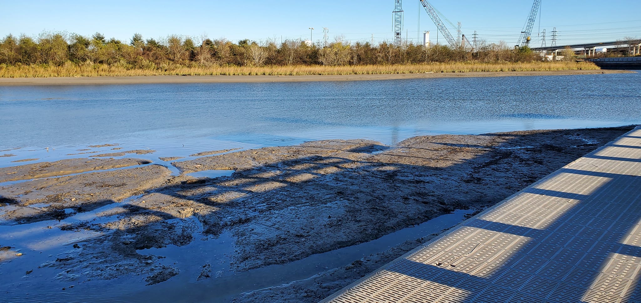
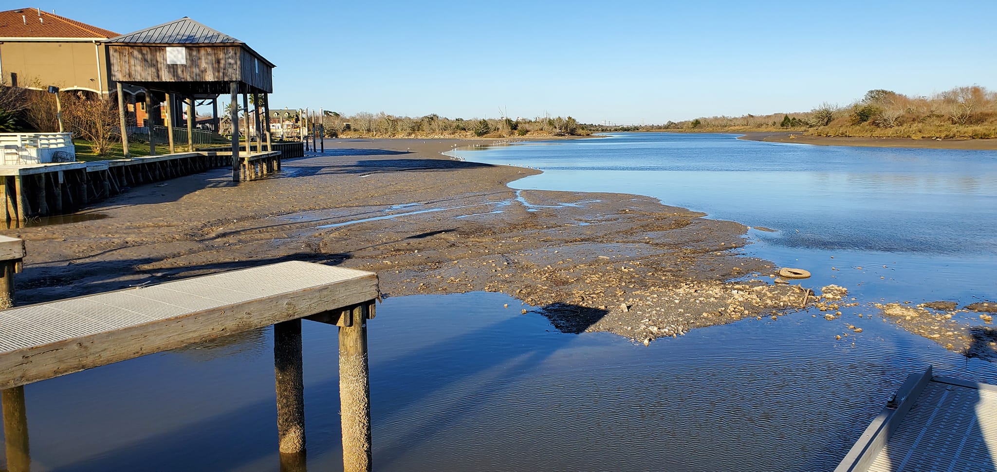
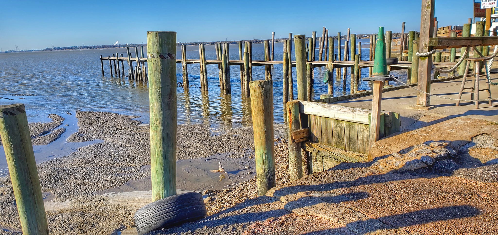
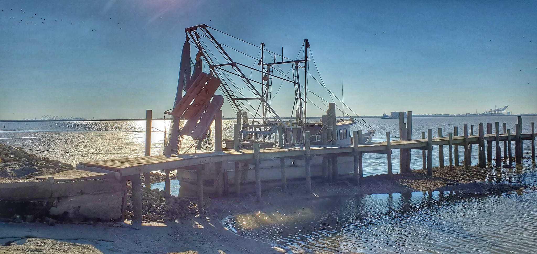
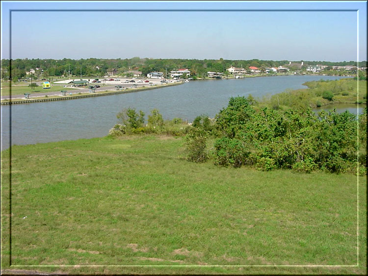
Roseland Park & Thompsons Bait Camp after a norther blew the water back
Jan 2022 Steve Liles
|
||||||||||||||
 |
 |
 |
 |
 |
 |
 |
||||||||
| 1 | 2 | 3 | 4 | 5 | 6 | 7 | ||||||||
 |
 |
 |
 |
 |
 |
 |
||||||||
| 8 | 9 | 10 | 11 | 12 | 13 | 14 | ||||||||
 |
 |
 |
 |
 |
 |
|||||||||
| 15 | 16 | 17 | 18 | 19 | 20 | |||||||||
|
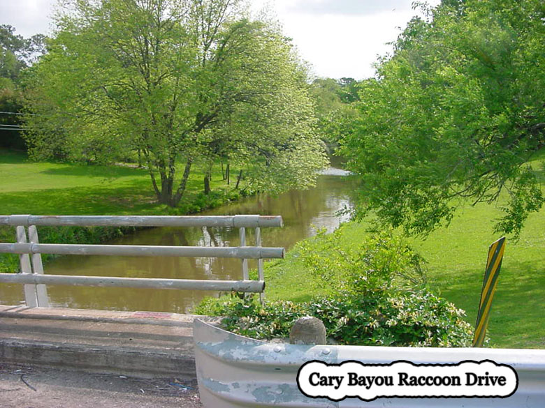
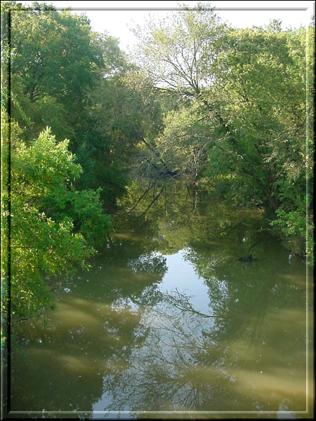
1 Cary Bayou (unmarked) as it travels under Raccoon Drive. |
|||
|
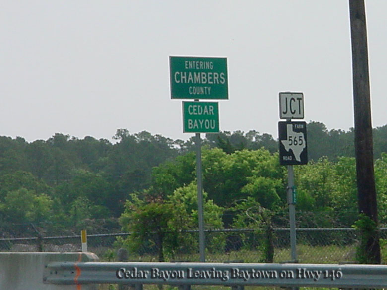
2 Newly marked Cedar Bayou sign on State Hwy 146. |
|||
|
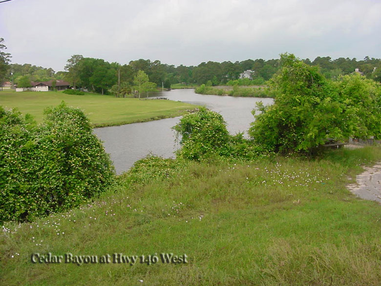
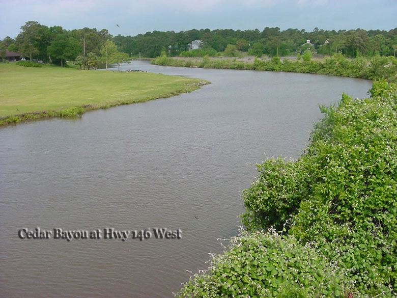
3 West look of Cedar Bayou from Hwy 146 where Cary Bayou enters on left side. |
|||
|
4 Another look of Cedar Bayou from Hwy 146 where Cary Bayou enters on left side. |
|||
|
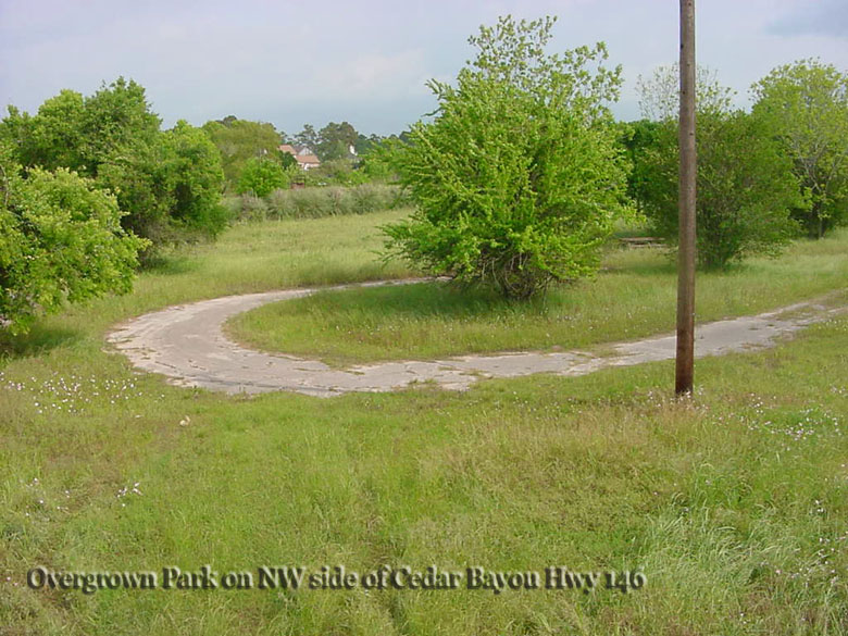
5 Just on the north side of Cedar Bayou in Chambers County is this sad little dilapidated park. |
|||
|
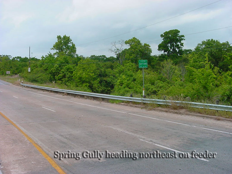
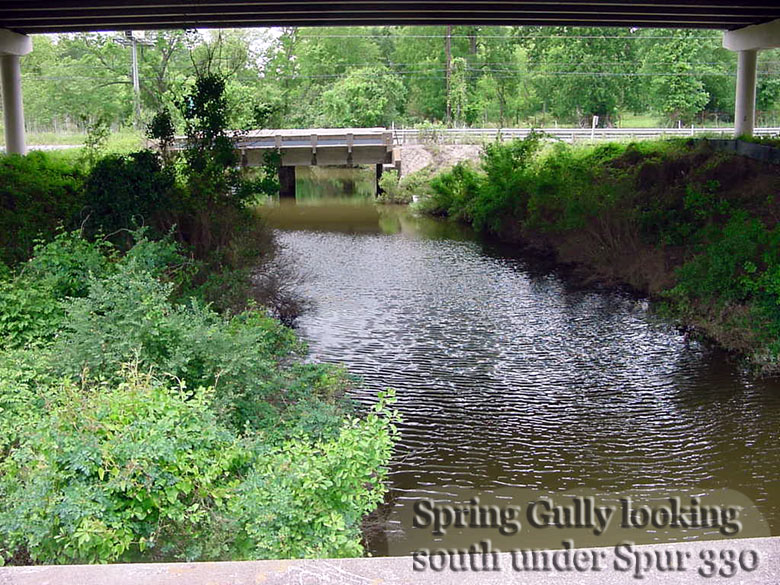
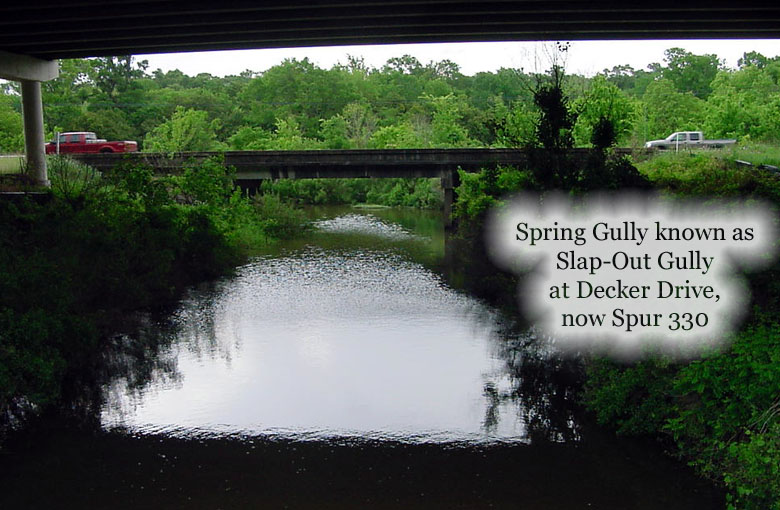
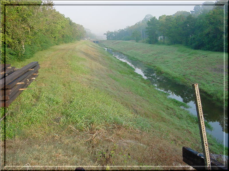
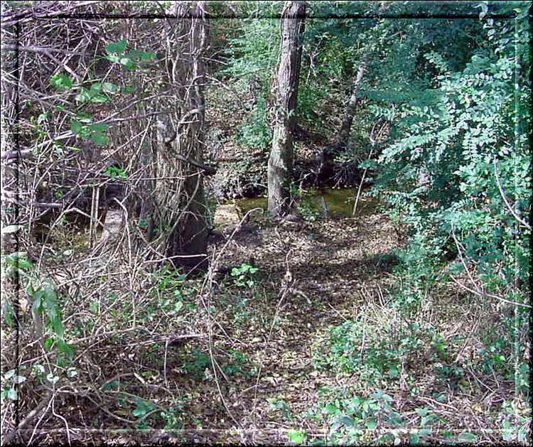
6 Slap Out Gully formerly Spring Gully running under Spur 330 close to I-10. |
|||
|
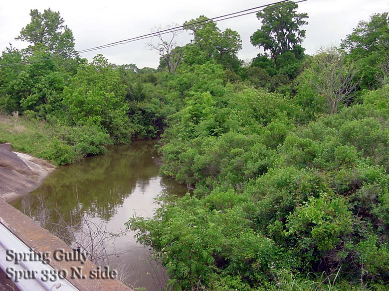
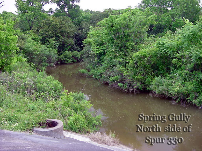
7 Slap Out Gully view |
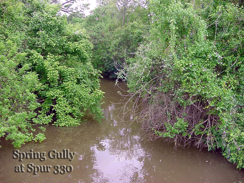
8 Slap Out Gully view | 9 Slap Out Gully view | |
|
10 Slap Out Gully view |
11 Slap Out Gully view | ||
|
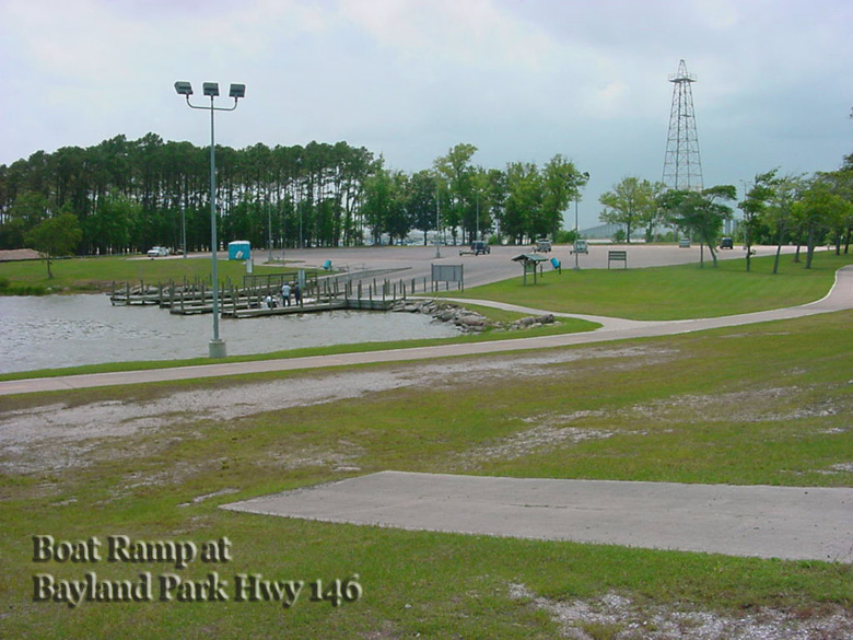
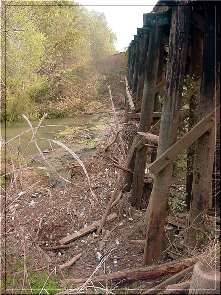
12 Boat Ramp at the bottom of the Fred Hartman Bridge |
|||
|
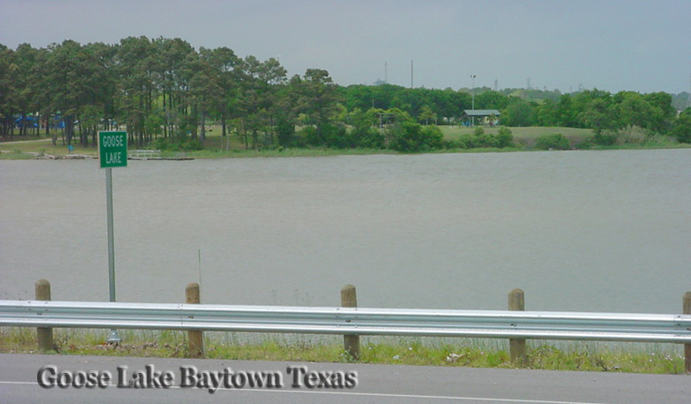
13 Goose Lake/Creek exit point on Business Hwy 146 |
|||
|
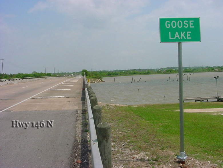
14 Goose Lake/Creek exit point on Business Hwy 146 |
|||
|
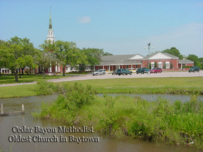
15 Cedar Bayou Methodist Church by Pounds Gully on Ferry Road |
|||
|
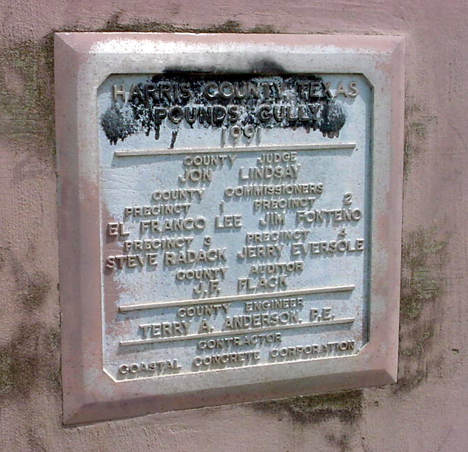
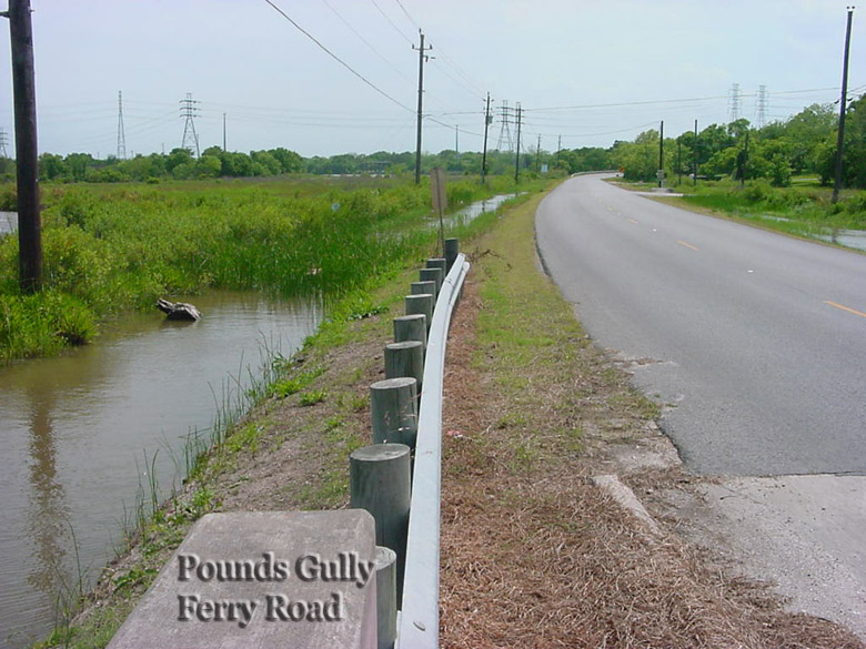
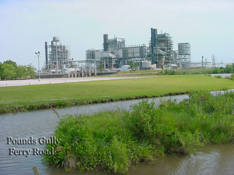
16 Pounds Gully crossing Ferry Road |
19 Pounds Gully crossing Ferry Road | ||
|
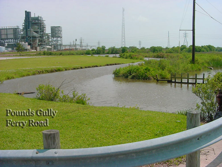
17 Pounds Gully crossing Ferry Road |
20 Pounds Gully crossing Ferry Road | ||
|
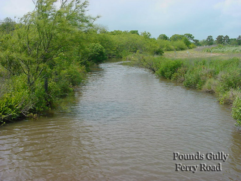
18 Pounds Gully crossing Ferry Road |
21 Pounds Gully crossing Ferry Road | ||
If you have information about waterways in the Baytown area, please write here.