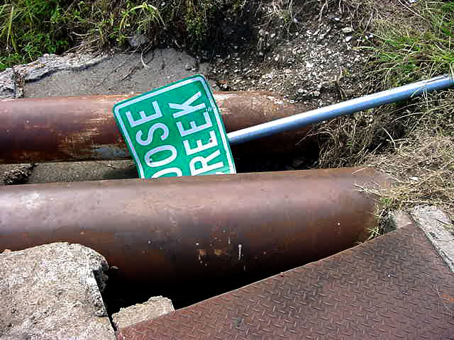
![]() Confederate Naval Works of Goose Creek Historical Marker:
Read about it here!
Confederate Naval Works of Goose Creek Historical Marker:
Read about it here!
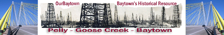
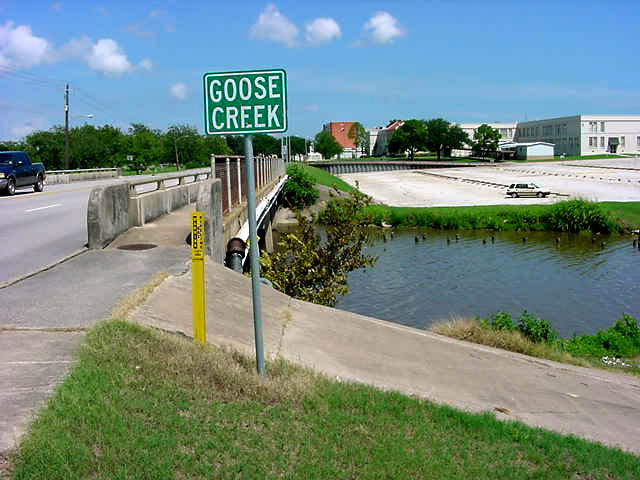
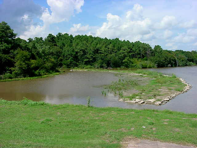
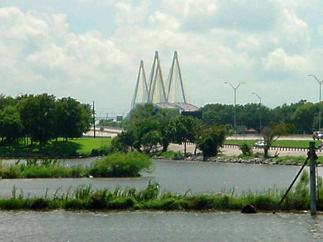
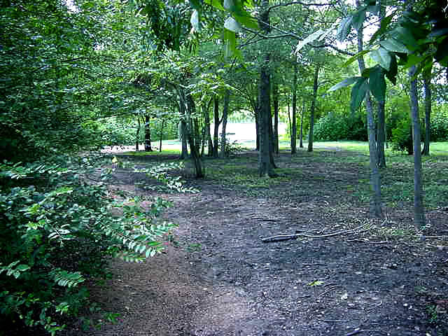
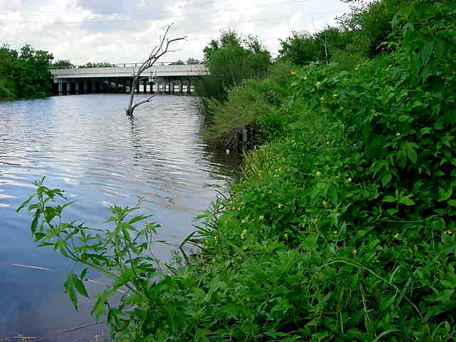
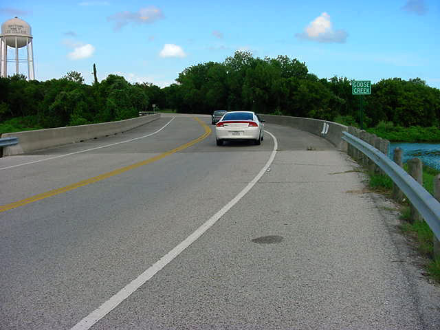
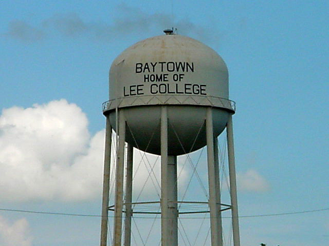
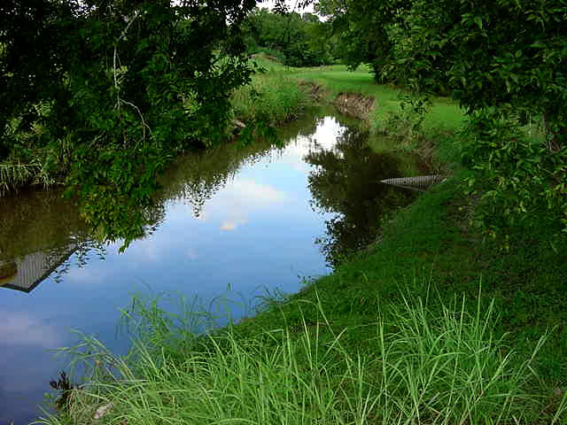
![]() Goose Creek Stream Greenbelt Trail
Photos April 05, 2006
Goose Creek Stream Greenbelt Trail
Photos April 05, 2006
|
|
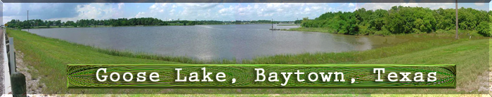
Photo info: this Stereoview
comes from the keystone view company. copyrighted by Underwood
& Underwood. now, unfortunately this card |
|
|
 |
 |
 |
 |
 |
 |
 |
 |
 |
 |
 |
 |
 |
 |
 |
 |
 |
 |
 |
 |
 |
 |
 |
|
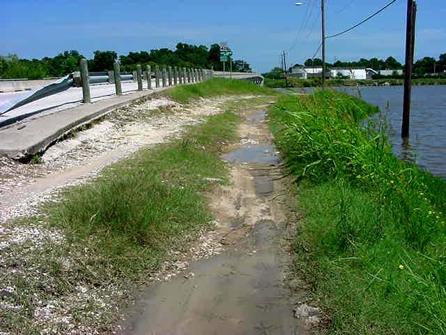
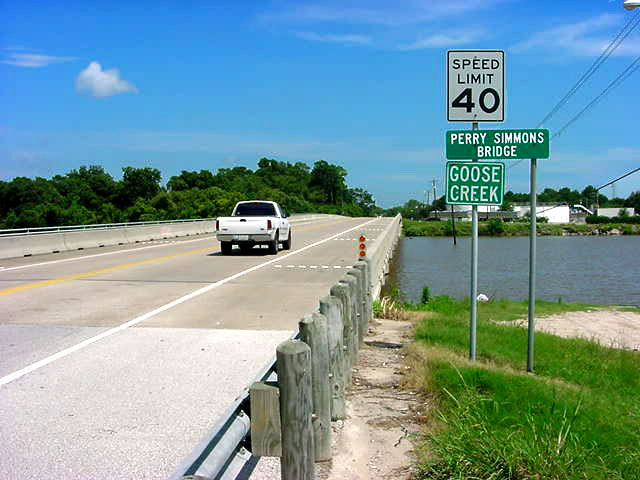
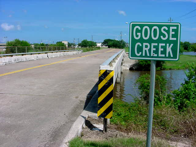
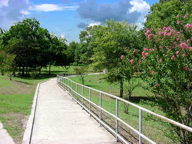
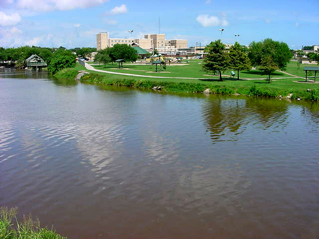
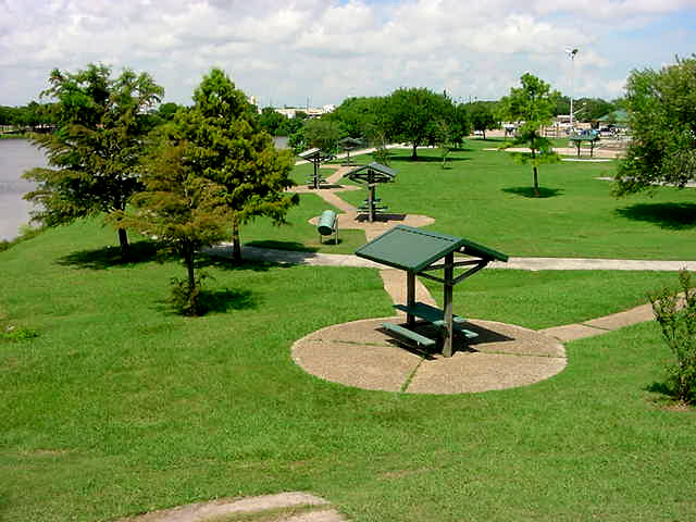
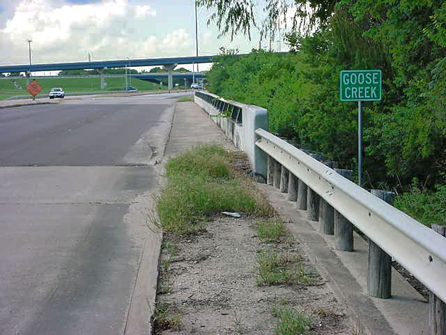
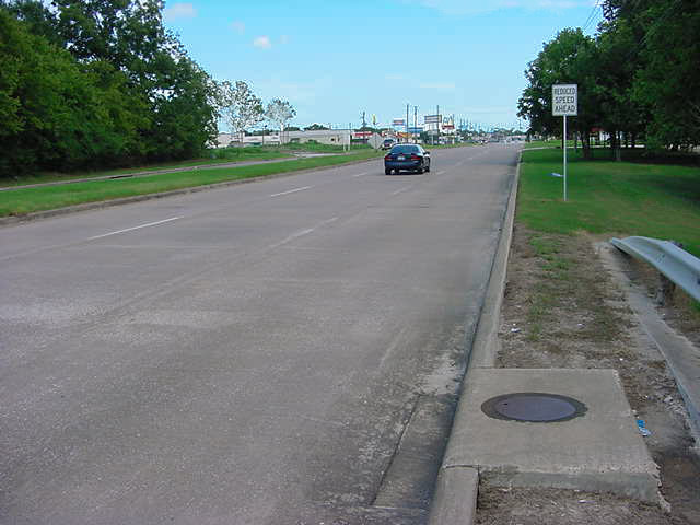
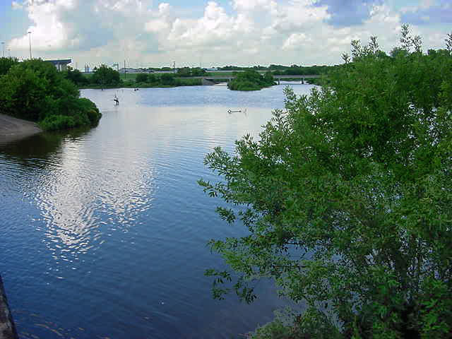
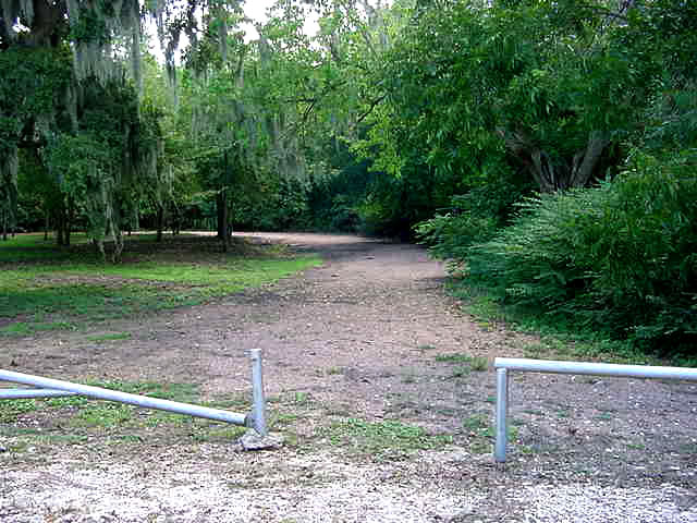
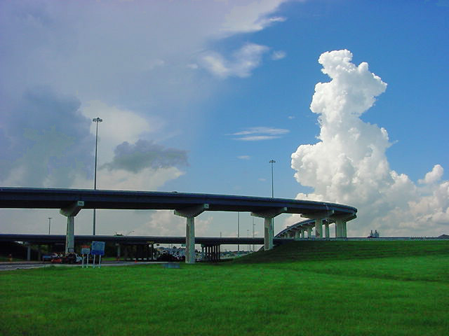
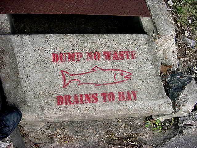
On
an adventure around Goose Creek, I took these pictures. I couldn't believe how much our little town is growing!
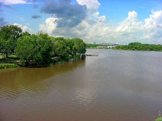
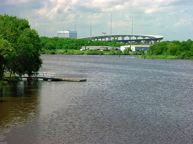
Most of Goose Creek upstream of Park Avenue has been
cleared and modified in the past and is regularly maintained or is lined with
concrete.
|
Submit your
photos to OurBaytown Please include information about them.
Back to Our Baytown Back to Submitted Pics